- Lecturer: Dorcas ABAYISENGA
- Lecturer: NSENGIYUMVA ANASTASE
The "Land of a Thousand Hills"
A. LOCATION AND SIZE
Absolute location: Lies between 1°S - 3°S and 29°E - 31°ERelative location: Landlocked country in East-Central Africa Neighbors: Uganda - North, Tanzania - East, Burundi - South, DRC - West
Size: 26,338 km² - one of the smallest countries in Africa
Capital: Kigali City - located almost at the center
B. PHYSICAL GEOGRAPHY / RELIEF
Rwanda is very hilly and mountainous.
The Congo-Nile Crest / Western Highlands Altitude: 2000m - 4500m Features: Volcanic mountains in the North-West. Virunga Mountains with 3 volcanoes: Karisimbi 4,507m - highest point, Muhabura, Gahinga Importance: Source of many rivers, tourism - gorillas, high rainfall
Central Plateau Altitude: 1300m - 2000m Features: Many hills separated by valleys. "Land of a thousand hills" Importance: Most people live here. Good for agriculture and settlement Eastern Plateau and Savanna Altitude: 1000m - 1500m Features: Gentle slopes, grasslands, swamps and lakes Importance: Cattle rearing, Akagera National Park, agriculture
C. CLIMATE
Type: Modified Equatorial / Tropical Highland Climate Factor Description Temperature Cool due to high altitude. Average 16°C - 20°C. Little variationRainfall1000mm - 1500mm per year. Bimodal: March-May and Sept-DecSeasons2 wet seasons + 2 dry seasons Regional variation Wettest: Congo-Nile Crest. Driest: Eastern Province
D. DRAINAGE
Rwanda is the source of the Nile and Congo rivers.
Nile Basin - Eastern Rwanda 67%Main river: Nyabarongo - Akagera River → flows to Lake Victoria → River Nile
Lakes: Muhazi, Rwampanga, Burera, Ruhondo
Congo Basin - Western Rwanda 33%Main rivers: Sebeya, Koko, Rubyiro → flow to Lake Kivu → Ruzizi → Lake Tanganyika → River Congo
Lake Kivu Border lake with DRC. 1,460m altitude Known for methane gas and Sambaza fish
E. VEGETATION AND SOILS
Natural vegetation: Mostly cleared. Remains in Nyungwe Forest - tropical rainforest, Akagera - savanna grassland
Soils: Fertile volcanic soils in North-West. Poor, shallow soils on steep hills due to erosion
Problem: Soil erosion is serious because of steep slopes
F. HUMAN GEOGRAPHY
Population: ∼14 million people - 2024 estimate
Density: 550 people/km² - one of the highest in Africa
Problem: Land scarcity
Economic activities: Agriculture 70%: Coffee, tea, beans, maize, Irish potatoes Industry: Made in Rwanda - cement, textiles, processing Tourism: Gorillas, Nyungwe Canopy Walk, Akagera Big 5 Mining: Tin, tungsten, coltan
Settlement: Imidugudu - grouped settlements for easy service delivery
G. IMPORTANCE OF RWANDA'S GEOGRAPHY TO DEVELOPMENT
High altitude + cool climate = Good for tea, coffee, and human health
Many hills = Potential for hydro power, but causes erosion
Lakes and rivers = Fishing, transport, hydropower Nyabarongo, Rusizi
Volcanoes + forests + parks = Tourism revenue
Central location in EAC = Trade with neighbors
H. MAIN GEOGRAPHICAL PROBLEMS
Land scarcity and high population density
Soil erosion and land degradation
Landlocked - High transport costs
Climate change - Droughts and floods
A. LOCATION AND SIZE
Absolute location: Lies between 1°S - 3°S and 29°E - 31°ERelative location: Landlocked country in East-Central Africa Neighbors: Uganda - North, Tanzania - East, Burundi - South, DRC - West
Size: 26,338 km² - one of the smallest countries in Africa
Capital: Kigali City - located almost at the center
B. PHYSICAL GEOGRAPHY / RELIEF
Rwanda is very hilly and mountainous.
The Congo-Nile Crest / Western Highlands Altitude: 2000m - 4500m Features: Volcanic mountains in the North-West. Virunga Mountains with 3 volcanoes: Karisimbi 4,507m - highest point, Muhabura, Gahinga Importance: Source of many rivers, tourism - gorillas, high rainfall
Central Plateau Altitude: 1300m - 2000m Features: Many hills separated by valleys. "Land of a thousand hills" Importance: Most people live here. Good for agriculture and settlement Eastern Plateau and Savanna Altitude: 1000m - 1500m Features: Gentle slopes, grasslands, swamps and lakes Importance: Cattle rearing, Akagera National Park, agriculture
C. CLIMATE
Type: Modified Equatorial / Tropical Highland Climate Factor Description Temperature Cool due to high altitude. Average 16°C - 20°C. Little variationRainfall1000mm - 1500mm per year. Bimodal: March-May and Sept-DecSeasons2 wet seasons + 2 dry seasons Regional variation Wettest: Congo-Nile Crest. Driest: Eastern Province
D. DRAINAGE
Rwanda is the source of the Nile and Congo rivers.
Nile Basin - Eastern Rwanda 67%Main river: Nyabarongo - Akagera River → flows to Lake Victoria → River Nile
Lakes: Muhazi, Rwampanga, Burera, Ruhondo
Congo Basin - Western Rwanda 33%Main rivers: Sebeya, Koko, Rubyiro → flow to Lake Kivu → Ruzizi → Lake Tanganyika → River Congo
Lake Kivu Border lake with DRC. 1,460m altitude Known for methane gas and Sambaza fish
E. VEGETATION AND SOILS
Natural vegetation: Mostly cleared. Remains in Nyungwe Forest - tropical rainforest, Akagera - savanna grassland
Soils: Fertile volcanic soils in North-West. Poor, shallow soils on steep hills due to erosion
Problem: Soil erosion is serious because of steep slopes
F. HUMAN GEOGRAPHY
Population: ∼14 million people - 2024 estimate
Density: 550 people/km² - one of the highest in Africa
Problem: Land scarcity
Economic activities: Agriculture 70%: Coffee, tea, beans, maize, Irish potatoes Industry: Made in Rwanda - cement, textiles, processing Tourism: Gorillas, Nyungwe Canopy Walk, Akagera Big 5 Mining: Tin, tungsten, coltan
Settlement: Imidugudu - grouped settlements for easy service delivery
G. IMPORTANCE OF RWANDA'S GEOGRAPHY TO DEVELOPMENT
High altitude + cool climate = Good for tea, coffee, and human health
Many hills = Potential for hydro power, but causes erosion
Lakes and rivers = Fishing, transport, hydropower Nyabarongo, Rusizi
Volcanoes + forests + parks = Tourism revenue
Central location in EAC = Trade with neighbors
H. MAIN GEOGRAPHICAL PROBLEMS
Land scarcity and high population density
Soil erosion and land degradation
Landlocked - High transport costs
Climate change - Droughts and floods
- Course creator, Lecturer: Pancras Dr NDOKOYE
- Lecturer: Dorcas ABAYISENGA
- Lecturer: NSENGIYUMVA ANASTASE
- Lecturer: Epiphanie Mukamana
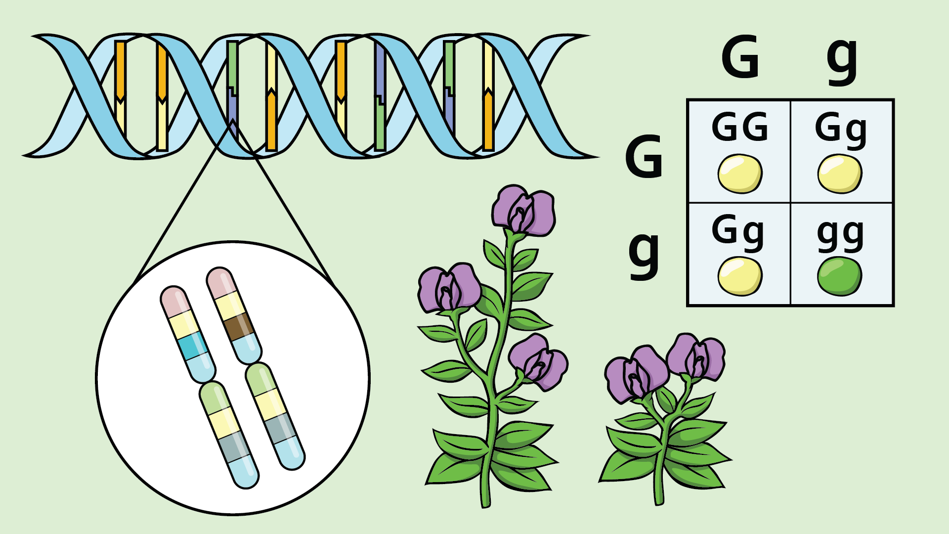
This module introduces the fundamental principles of genetics and heredity. It explains the structure and function of DNA, genes, and chromosomes. The module covers Mendelian inheritance, genetic variation, and chromosome behavior during meiosis. Learners will develop skills in solving genetics problems using Punnett squares, probability, and Hardy–Weinberg calculations. The module also highlights the applications of genetics in evolution, medicine, and ethical decision-making.
- Lecturer: Fabien NSANZABERA